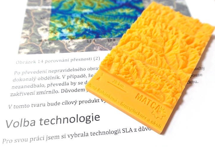
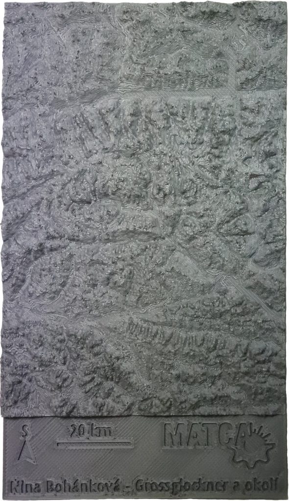
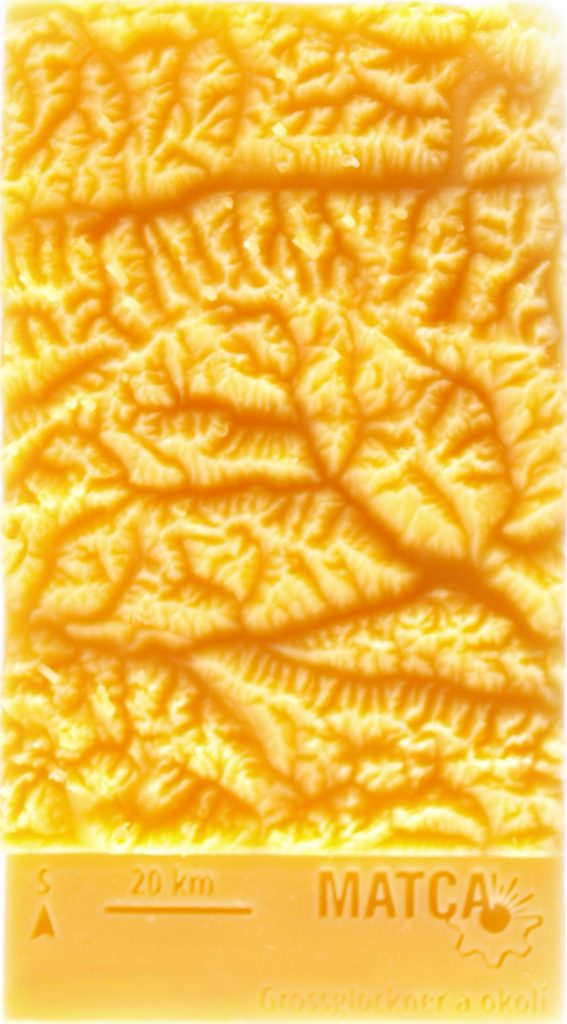
The data the project were acquired from the NASA Shuttle Radar Topography Mission that provides large regions of the topographic relief of the Earth in high-resolution. The obtained numerical data were further processed and converted using a CAD into a 3D model. Subsequently, this model was printed both on the SL1 (DLP machine) and the i3 MK3s (FDM machine). The attached images show the difference in resolution of both applied methods. The model will be used ad hoc for defending a school-leaving project that combines geography with new manufacturing technologies.


 The NCK for MATCA is supported by the